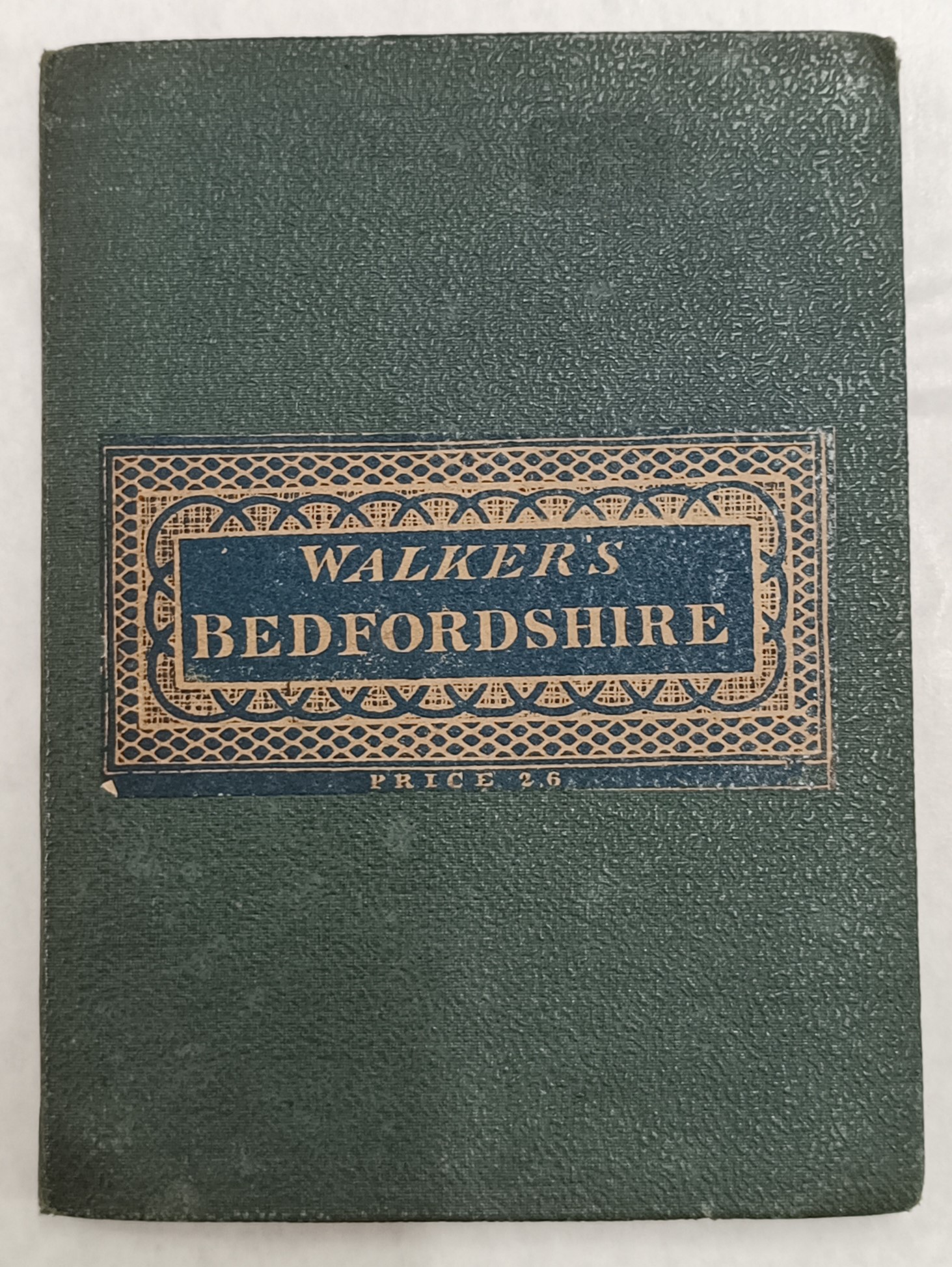
WALKER'S MAP OF BEDFORDSHIRE
W1151

Information
- Author
- Walker, J & C
- Publisher
- Longman & Co.
- Printing Date
- 1836
- Price
- £25.00
Description
12.5cm x 9cm x 0.5cm booklet folding out to 35cm x 42.5cm map of Bedfordshire, bound in green cloth. Map measures 42.5cm x 34cm.
With coloured delineations, this antique map of Bedfordshire captures various historical details such as polling places and boundaries between counties and boroughs.
Condition
Minimal wear to booklet with slightly bumped corners. Map panels firmly pasted to cloth backing with little to no discolouration or marking.
 The Eagle Bookshop