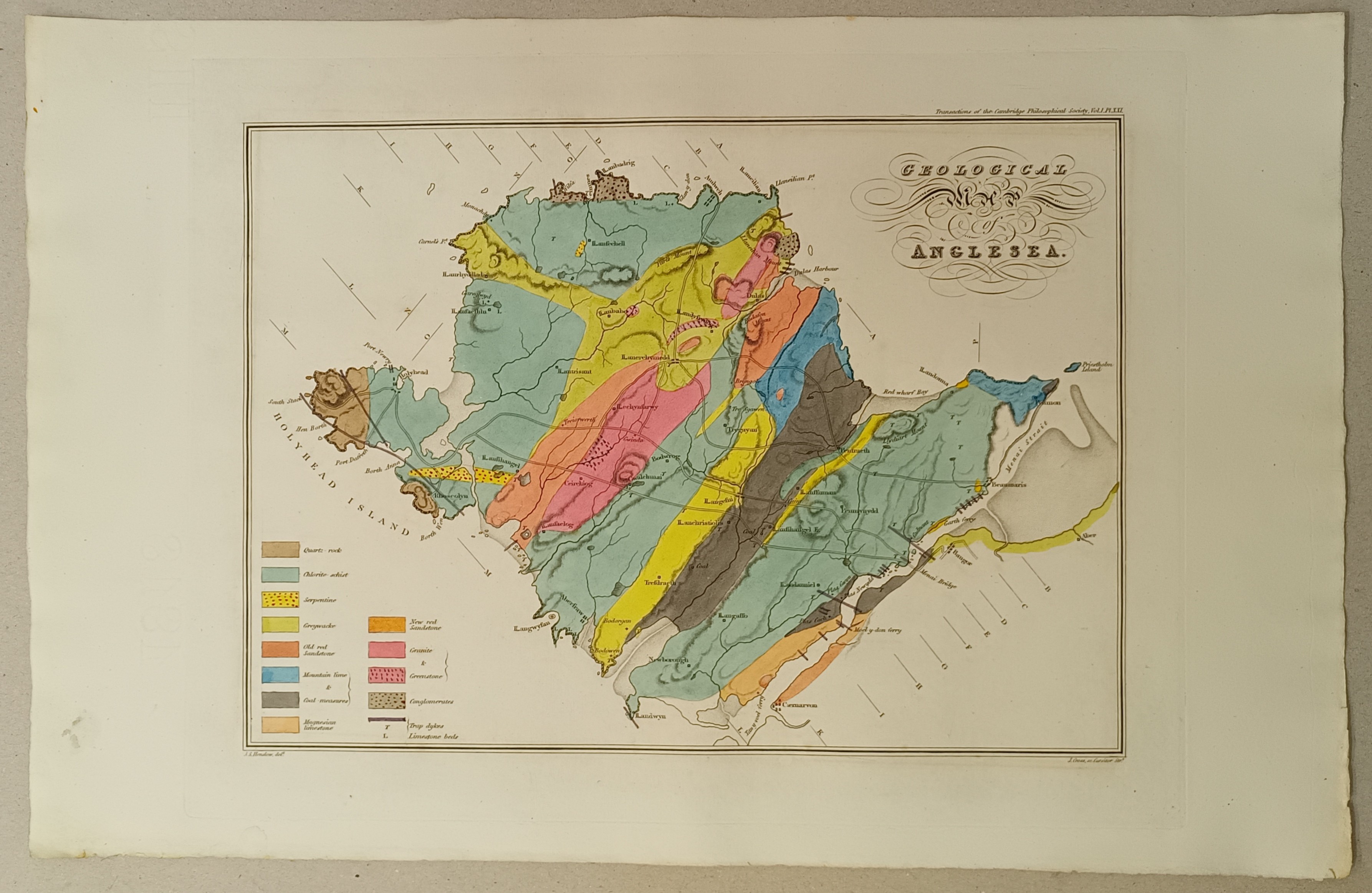
GEOLOGICAL MAP OF ANGLESEA
W1198

Information
- Author
- Henslow, John Stephens
- Publisher
- Cambridge Philosophical Society
- Printing Date
- [1822]
- Edition
- 1st
- Price
- £500.00
Description
44.5cm x 28.5cm, hand-coloured, together with two plates of parallel sections from the NW to SE of the island, also hand-coloured.
The map and plates were printed in 1822 by the Cambridge Philosophical Society for inclusion in the second part of the first volume of their Transactions, to accompany Henslow's pioneering work Geological Description of Anglesea.
In a rare, unfolded state. Most copies of the maps were folded onto mounts to be sewn into bound volumes of the Transactions and distributed, but some original, unfolded copies came to light when the society reorganised its storage in 2024 and we were delighted to be able to purchase them.
Henslow is now best remembered as friend and mentor to Charles Darwin, but this youthful work was truly pioneering, not only as one of the first such geological maps in the UK but also being the first detailed topographical map of any sort of Anglesey.
Henslow was one of the founding members of the society, formed in 1819 when he was just 23.
Condition
Very good - as issued.
 The Eagle Bookshop